Our 8 year old Toby had been itching to go tramping again, after the enjoyable day we had on Peak Hill (see trip report
here), and had set his sights on nearby Mt Richardson, a 1047m summit in the North Canterbury foothills.
After a somewhat patchy summer weather-wise we were treated to a glorious day in early February for our tramp. The tramp itself is easy, following a good, well formed bush track all the way to the summit.
Initially the track follows the path of the Glentui River and is quite flat, gaining only about 100m height over the first 2.5km or so.
At around the 500m contour the track turns and we started our climb up a spur, climbing moderately steeply as we made our way up the spur. Occasional views can be had through the bush out across the Canterbury Plains on the route up this spur.
It's a climb of around 350m up the spur and at no point did we find it difficult. DOC have been busy through here, as with many of the bush tracks in the area, clearing windfall and storm damage from 2013 storms, and we found the track to be in excellent condition.
After a short section of completely flat walking we started to final climb up to the summit of Mt Richardson. This climb was shorter than the one up the spur and it wasn't too long before we broke out of the bush and reached the summit.
Superb views across Lees Valley to the Puketeraki Range greeted us but before the photos were taken we found a nice shady spot for lunch. Toby was keen to take a few photos of his own so I left him to it while I ate, then it was my turn with camera. I was interested in trying to scout out the route up the Ashley River to Youngman Stream Hut, the objective for a future weekend trip, but the angle wasn't quite right for a view up the Ashley. The tops in the area looked good though, and should make a nice alternative return from the hut.
From the summit there are a couple of return options, the first being the obvious one of returning the way we came. I was hoping Toby might be keen to take the Blowhard Track, which runs along the top of the ridge for a few kilometres before connecting with the Bypass Track (not named on the map but is named on signposts on the route), which drops down a bush spur on the opposite side of the valley before linking up with the main track shortly before the carpark, making for a nice round trip.
Toby was keen, so we set off. Along the tops it was blazing hot, with some erosion from slips having taken some trees with it, meaning the trip along the tops is quite exposed - take plenty of water because once you leave the river early in the trip there's no water available.
Just as Toby was nearing the end of his tether, we came to the track junction, and it was with great relief that we found ourselves back in the cool of the bush, descending back down to the valley floor.
The spur that the Bypass Track follows was much much wetter than the one we ascended and, being a south facing spur, I suspect it remains this way pretty much all year. Toby passed the time by counting how many sections of mud we negotiated, losing count somewhere in the 40's. Despite this there were no great difficulties and we made our way down without incident.
Once back on the main track, all that remained was the simple stroll back to the car and the end of a fun day out together.
 |
| About to set off up Mt Richardson |
 |
| Water erosion along the track up the Glentui River |
 |
| Water erosion on the track |
 |
| Start of the climb up the spur onto Mt Richardson |
 |
| Only one section of uncleared windfall |
 |
| Toby enjoying the climb |
 |
| A break from the climb |
 |
| First glimpse of a view |
 |
| Final climb before the summit, Toby still going strong |
 |
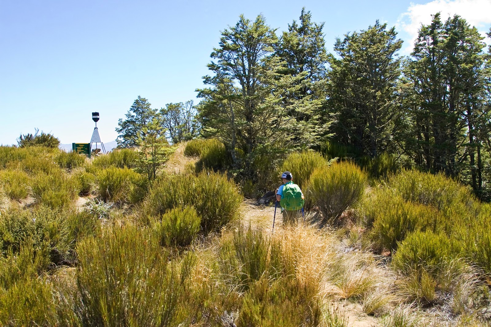
| Summit trig in sight |
 |
| Summit shenanigans! |
 |
| Toby on the summit of his first peak - Mt Richardson (1047m) |
 |
| Still smiling! |
 |
| View across to Mt Oxford (1364m, left centre), from Mt Richardson |
 |
| Oxford township, from the summit of Mt Richardson |
 |
| Heading along the Blowhard Track |
 |
| A bit of rough terrain still couldn't wipe the smile off Toby's face |
 |
| The open tops that the Blowhard Track traverses, Mt Thomas in the background |
 |
| Avoiding the horse manure dropped right in the middle of the track |
 |
| Starting our descent down the Bypass Track, and relieved to be in the shade |
 |
| I'm sure everyone does this! |
 |
| Negotiating a steeper section on the Bypass Track |
 |
| Success! - celebrating the day's achievement |
 |
| Panorama from the summit of Mt Richardson, taking in Mt Oxford (far left), and the Puketeraki Range behind Lees Valley - Chest Peak (1936m, highest point on the range) is just right of centre |
 |
| Crown Copyright - Land Information NZ |
Access: From Oxford, take the signposted road to Ashley Gorge and then continue on to Glentui. Turn left onto Glentui Bush Rd and follow to the large carpark and picnic area.
Time: Carpark to summit 2hrs 30mins, summit to Bypass Track junction 1hr 30mins, Bypass Track to carpark 1hr 15mins
Map: BW22 Oxford
Hut: None


No comments:
Post a Comment